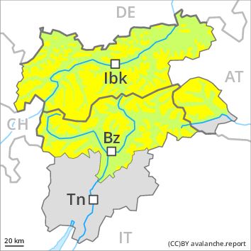
Regions
Sexten Dolomites, Val Müstair Alps, Western Verwall Mountains, Langtaufers, Eastern Verwall Mountains, Schnals Ridge, Silvretta, Southern Stubai Alps, Samnaun Mountains, Southern Zillertal Alps and High Tauern, Northern Oetz and Stubai Alps, Saldurn-Mastaun Ridge, Western Tuxer Alps, Texel Mountains, Eastern Tuxer Alps, Sarntal Alps, Western Kitzbühel Alps, Western Pfunderer Mountains, Eastern Kitzbühel Alps, Glockturm Range, Eastern Pfunderer Mountains, Durreck Range, Weißkugel Range, Western Rieserferner Mountains, Gurgler Range, Western Deferegger Alps, Central Stubai Alps, Ortler Range, Northern Zillertal Alps, Allgäu Alps, Ulten Valley, Venediger Range, Eastern Lechtal Alps - Ammergau Alps, Eastern Nonsberger Alps, Mieming Mountains, Eastern Rieserferner Mountains, Northern Dolomites of Fiemme, Karwendel Mountains, Glockner Range, Gröden Dolomites, Eastern Deferegger Alps, Brandenberg Alps, Prags Dolomites, Wilder Kaiser Mountains - Waidring Alps, Schober Mountains, Western Lechtal Alps, Central Lechtal Alps, Grieskogel Mountains
Danger level
Avalanche Problem
Wind-drifted snow above the treeline, N-NE-E-SE-S-NW
![]()
The fresh wind slabs can be released easily.
As a consequence of fresh snow and strong wind the wind slabs will increase in size on Saturday. In the regions where more snow falls danger level 3 (considerable) may be reached. The rather small wind slabs can be released easily, even by a single winter sport participant, especially on northeast to north to south facing aspects above the tree line. The avalanche prone locations are to be found especially on wind-loaded slopes. Individual dry slab avalanches are possible. They can in isolated cases be released in the old snowpack and reach quite a large size especially on shady slopes.
Snowpack
5 to 10 cm of snow, and up to 15 cm in some localities, will fall from late morning in all altitude zones. The strong wind will transport the fresh snow and, in some cases, old snow as well. Over a wide area easily released wind slabs will form. The fresh snow and wind slabs of Saturday will be deposited on the unfavourable surface of an old snowpack in particular on shady slopes above approximately 2000 m. Faceted weak layers exist in the snowpack in particular here. Apart from the danger of being buried, restraint should be exercised as well in view of the danger of avalanches sweeping people along and giving rise to falls.
Tendency
Fresh wind slabs represent the main danger.