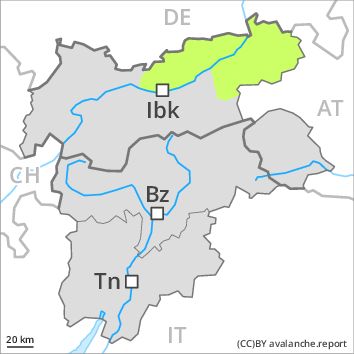
Regions
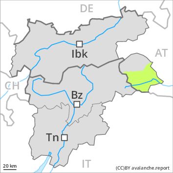
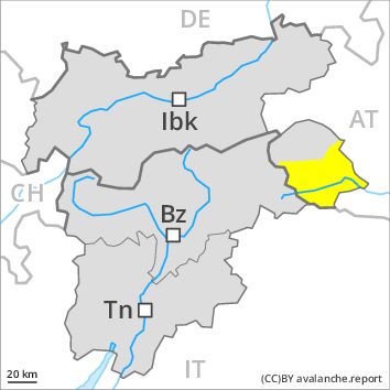
Eastern Deferegger Alps, Schober Mountains, Lienzer Dolomites
AM
Danger level
Danger Level 1 - Low above 2000m
Danger Level 1 - Low above 2000m
Avalanche Problem
Wind-drifted snow above 2000m, N-NE-E-W-NW
PM
Danger level
Danger Level 2 - Moderate above 2000m
Danger Level 2 - Moderate above 2000m
Avalanche Problem
Wet snow above 2000m, E-SE-S-SW-W
Wind-drifted snow above 2000m, N-NE-E-W-NW
Wet and gliding avalanches are to be expected from around the middle of the day. The somewhat older wind slabs are clearly recognisable to the trained eye.
In the last few days mostly small wind slabs formed in particular adjacent to ridgelines. These are in individual cases still prone to triggering, especially on very steep shady slopes above approximately 2000 m adjacent to ridgelines.
These avalanche prone locations are very rare and are clearly recognisable to the trained eye. The avalanches are rather small and can mostly only be released by large loads.
Snowpack
dp 10: springtime scenario
dp 6: cold, loose snow and wind
At low altitude no snow is lying. At intermediate altitudes the snow is wet. The somewhat older wind slabs have bonded well with the old snowpack in all aspects. Old wind slabs require caution.
Tendency
Slight increase in avalanche danger as a consequence of the precipitation.
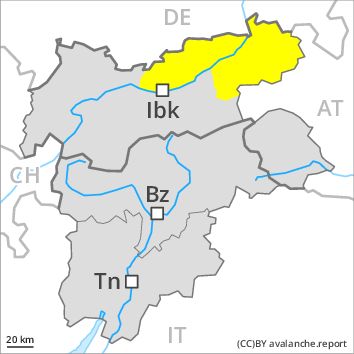
Regions
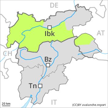
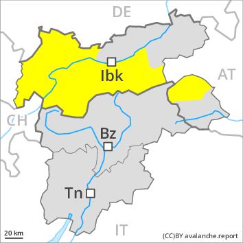
Weißkugel Range, Western Verwall Mountains, Gurgler Range, Central Stubai Alps, Eastern Verwall Mountains, Northern Zillertal Alps, Allgäu Alps, Silvretta, Venediger Range, Samnaun Mountains, Eastern Lechtal Alps - Ammergau Alps, Northern Oetz and Stubai Alps, Mieming Mountains, Eastern Rieserferner Mountains, Western Tuxer Alps, Glockner Range, Eastern Tuxer Alps, Western Lechtal Alps, Central Lechtal Alps, Glockturm Range, Grieskogel Mountains
AM
Danger level
Danger Level 1 - Low above 2400m
Danger Level 1 - Low above 2400m
Avalanche Problem
Wind-drifted snow above 2400m, N-NE-E-W-NW
PM
Danger level
Danger Level 2 - Moderate above 2400m
Danger Level 2 - Moderate above 2400m
Avalanche Problem
Wet snow above 2400m, E-SE-S-SW-W
Wind-drifted snow above 2400m, N-NE-E-W-NW
Wet and gliding avalanches are to be expected from around the middle of the day. Wind slabs are in individual cases still prone to triggering at high altitudes and in high Alpine regions.
In the last few days mostly small wind slabs formed in particular adjacent to ridgelines. These are in individual cases still prone to triggering, especially adjacent to ridgelines and in gullies and bowls. Mostly the avalanches are rather small and can mostly only still be released by large loads.
In addition the somewhat older wind slabs should be taken into account. These are to be evaluated with care and prudence in particular in very steep terrain. These avalanche prone locations are rather rare and are clearly recognisable to the trained eye.
Snowpack
dp 10: springtime scenario
dp 6: cold, loose snow and wind
At low altitude no snow is lying. At intermediate altitudes the snow is wet. Outgoing longwave radiation during the night will be good. The fresh and somewhat older wind slabs have bonded well with the old snowpack in all aspects below approximately 2400 m.
In some places wind slabs are lying on soft layers. In very isolated cases weak layers exist in the old snowpack in particular on northwest, north and northeast facing slopes, especially above approximately 2400 m.
Tendency
Slight increase in avalanche danger as a consequence of the precipitation.
Regions
Karwendel Mountains, Brandenberg Alps, Western Kitzbühel Alps, Wilder Kaiser Mountains - Waidring Alps, Eastern Kitzbühel Alps
AM
Danger level
Danger Level 1 - Low above 1800m
Danger Level 1 - Low above 1800m
Avalanche Problem
Wind-drifted snow above 1800m, N-NE-E-W-NW
PM
Danger level
Danger Level 2 - Moderate above 1800m
Danger Level 2 - Moderate above 1800m
Avalanche Problem
Wet snow above 1800m, E-SE-S-SW-W
Wet snow above 1800m, N-NE-E-W-NW
Wet and gliding avalanches are to be expected from around the middle of the day. Wind slabs are now only very rarely prone to triggering above the tree line.
In the last few days rather small wind slabs formed in particular adjacent to ridgelines. These are in isolated cases prone to triggering. Caution is to be exercised in particular adjacent to ridgelines and in gullies and bowls. These avalanche prone locations are rather rare and are clearly recognisable to the trained eye. Mostly the avalanches are rather small.
Snowpack
dp 10: springtime scenario
dp 6: cold, loose snow and wind
At low altitude no snow is lying. At intermediate altitudes the snow is wet. Outgoing longwave radiation during the night will be good. The somewhat older wind slabs have bonded well with the old snowpack in all aspects.
Tendency
Slight increase in avalanche danger as a consequence of the precipitation.