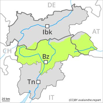
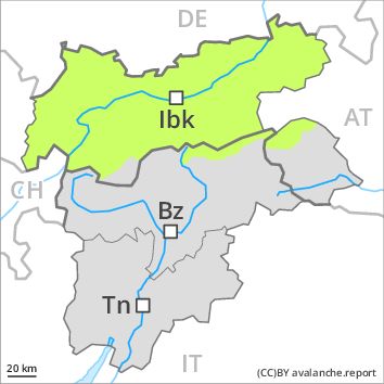
Regions
Weißkugel Range, Western Verwall Mountains, Central Stubai Alps, Eastern Verwall Mountains, Northern Zillertal Alps, Allgäu Alps, Silvretta, Venediger Range, Samnaun Mountains, Eastern Lechtal Alps - Ammergau Alps, Southern Zillertal Alps and High Tauern, Northern Oetz and Stubai Alps, Mieming Mountains, Western Tuxer Alps, Karwendel Mountains, Eastern Tuxer Alps, Brandenberg Alps, Western Kitzbühel Alps, Wilder Kaiser Mountains - Waidring Alps, Eastern Kitzbühel Alps, Western Lechtal Alps, Central Lechtal Alps, Glockturm Range, Grieskogel Mountains
Danger level
![]()
The snowpack will be quite stable. Fresh snow as the day progresses. For this reason the danger will increase a little.
The Avalanche Warning Service currently has only a small amount of information that has been collected in the field.
The wind slabs must be evaluated with care and prudence at high altitudes and in high Alpine regions. These can in very isolated cases be released, in particular by large loads. Mostly the avalanches are small.
Intermediate altitudes and below approximately 2200 m: As a consequence of warming during the day and solar radiation there will be only a slight increase in the danger of gliding avalanches and moist snow slides, in particular on steep sunny slopes. Gradual increase in avalanche danger as the snowfall becomes more intense. The prevalence of avalanche prone locations will increase as the day progresses.
Snowpack
Very steep shady slopes: The somewhat older wind slabs are lying on soft layers. In very isolated cases weak layers exist in the old snowpack, in particular on steep shady slopes above approximately 2200 m.
East, south and west facing slopes: The wind slabs are lying on a crust.
At low altitude no snow is lying. During the day: 10 to 20 cm of snow, and even more in some localities, will fall above approximately 1000 m.
Tendency
Gradual increase in avalanche danger as a consequence of the snowfall.