Regions
Sexten Dolomites, Eastern Pfunderer Mountains, Durreck Range, Western Rieserferner Mountains, Val Müstair Alps, Western Deferegger Alps, Langtaufers, Ortler Range, Schnals Ridge, Southern Stubai Alps, Ulten Valley, Southern Zillertal Alps and High Tauern, Eastern Nonsberger Alps, Northern Dolomites of Fiemme, Saldurn-Mastaun Ridge, Gröden Dolomites, Texel Mountains, Prags Dolomites, Sarntal Alps, Western Pfunderer Mountains
AM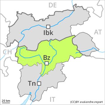
Danger level
PM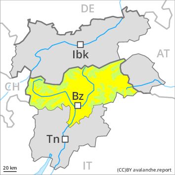
Danger level
Avalanche Problem
Wet snow above 2800m, N-NE-E-SE-S-SW-W-NW
Moist and wet avalanches as the day progresses.
The Avalanche Warning Service currently has only a small amount of information that has been collected in the field.
As a consequence of warming during the day and solar radiation natural wet avalanches are possible below approximately 2800 m. In isolated cases these can penetrate even deep layers and reach large size. Exposed parts of transportation routes can be endangered occasionally in the regions with a lot of snow.
In addition there is a danger of dry slab avalanches. This applies in particular in shady places that are protected from the wind above approximately 2400 m. Such avalanche prone locations are rather rare.
Snowpack
dp 10: springtime scenario
The surface of the snowpack has frozen to form a strong crust and will soften during the day. Isolated avalanche prone weak layers exist in the old snowpack especially on very steep shady slopes. At intermediate altitudes only a little snow is lying. At low altitude no snow is lying.
Tendency
Increase in danger of wet and gliding avalanches as a consequence of warming during the day and solar radiation.