Regions
Latemar, Southern Adamello, Primiero - Pale di S. Martino, Adamello - Presanella, Prealps, Northern Brenta - Peller, Cembra Valley, Bondone and Stivo, Vallarsa, Folgaria - Laverone, Western Nonsberg Alps, Southern Brenta, Fassa Valley, Southern Lagorai, Sole, Pejo and Rabbi, Northern Lagorai, Ledro Valley, Maddalene, Paganella, Pine' - Mocheni Valley, Marzola - Valsugana
AM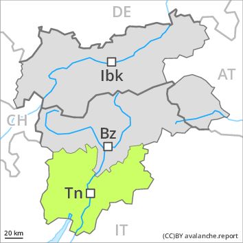
Danger level
PM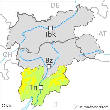
Danger level
Avalanche Problem
Wet snow above 2400m, N-NE-E-W-NW
The danger of moist and wet avalanches will increase during the day.
The Avalanche Warning Service currently has only a small amount of information that has been collected in the field. Wet avalanches during the day are the main danger. As a consequence of warming during the day and the solar radiation, the likelihood of wet avalanches being released will increase gradually. The avalanche prone locations are to be found in particular on steep west to north to east facing slopes above approximately 2400 m. In some places wet avalanches can release the saturated snowpack and can reach as far as areas without any snow cover. The runout zones of avalanches are to be treated with caution as well. In the runout zone hardly any snow is lying.
Snowpack
dp 10: springtime scenario
Outgoing longwave radiation during the night will be good over a wide area. The surface of the snowpack will freeze to form a strong crust and will soften during the day. Individual weak layers exist deep in the old snowpack on steep shady slopes, especially above approximately 2800 m in areas where the snow cover is rather shallow. At low altitude no snow is lying.
Tendency
Increase in danger of wet avalanches as a consequence of warming during the day and solar radiation.