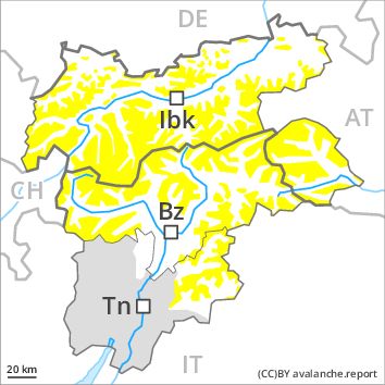
Regions
Sexten Dolomites, Latemar, Southern Lagorai, Northern Lagorai, Allgäu Alps, Eastern Lechtal Alps - Ammergau Alps, Mieming Mountains, Karwendel Mountains, Brandenberg Alps, Wilder Kaiser Mountains - Waidring Alps, Western Lechtal Alps, Central Lechtal Alps, Grieskogel Mountains, Val Müstair Alps, Western Verwall Mountains, Langtaufers, Eastern Verwall Mountains, Schnals Ridge, Silvretta, Southern Stubai Alps, Samnaun Mountains, Southern Zillertal Alps and High Tauern, Northern Oetz and Stubai Alps, Saldurn-Mastaun Ridge, Western Tuxer Alps, Texel Mountains, Eastern Tuxer Alps, Sarntal Alps, Western Kitzbühel Alps, Western Pfunderer Mountains, Eastern Kitzbühel Alps, Glockturm Range, Eastern Pfunderer Mountains, Durreck Range, Weißkugel Range, Western Rieserferner Mountains, Gurgler Range, Western Deferegger Alps, Central Stubai Alps, Ortler Range, Northern Zillertal Alps, Ulten Valley, Venediger Range, Eastern Nonsberger Alps, Eastern Rieserferner Mountains, Northern Dolomites of Fiemme, Glockner Range, Gröden Dolomites, Primiero - Pale di S. Martino, Eastern Deferegger Alps, Prags Dolomites, Schober Mountains, Lienzer Dolomites, Western Nonsberg Alps, Fassa Valley
Danger level
Avalanche Problem
Wet snow above 2000m, NE-E-SE-S-SW-W
Wind-drifted snow above 2800m, N-NE-E-SE-S-SW-W-NW
![]()
The danger of wet avalanches will already exist in the early morning. High Alpine regions: Wind slabs require caution.
The Avalanche Warning Service currently has only a small amount of information that has been collected in the field. In the regions exposed to heavier precipitation and on steep sunny slopes small and, in isolated cases, medium-sized wet snow slides and avalanches are to be expected. As a consequence of warming during the day and the solar radiation, the likelihood of wet avalanches being released will increase above approximately 2000 m.
High Alpine regions: As a consequence of the moderate wind the previously small wind slabs will increase in size moderately. The avalanche prone locations are to be found in particular adjacent to ridgelines and in gullies and bowls in all aspects. The number and size of avalanche prone locations will increase with altitude.
Snowpack
dp 10: springtime scenario
dp 6: cold, loose snow and wind
Over a wide area 5 to 15 cm of snow, and even more in some localities, will fall. Outgoing longwave radiation during the night will be barely evident. The snowpack will be moist from early morning. In some cases the various wind slabs have bonded still only poorly together. At low altitude no snow is lying.
Tendency
Hardly any decrease in avalanche danger.