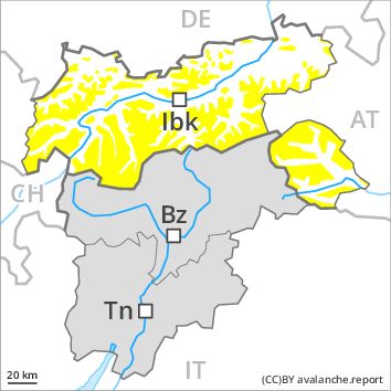
Regions
Western Verwall Mountains, Eastern Verwall Mountains, Silvretta, Samnaun Mountains, Northern Oetz and Stubai Alps, Western Tuxer Alps, Eastern Tuxer Alps, Western Kitzbühel Alps, Eastern Kitzbühel Alps, Glockturm Range, Weißkugel Range, Gurgler Range, Central Stubai Alps, Allgäu Alps, Northern Zillertal Alps, Eastern Lechtal Alps - Ammergau Alps, Venediger Range, Mieming Mountains, Eastern Rieserferner Mountains, Karwendel Mountains, Glockner Range, Brandenberg Alps, Eastern Deferegger Alps, Wilder Kaiser Mountains - Waidring Alps, Schober Mountains, Western Lechtal Alps, Lienzer Dolomites, Central Lechtal Alps, Grieskogel Mountains
Danger level
Avalanche Problem
Wet snow above 2000m, N-NE-E-SE-S-SW-W-NW
Wind-drifted snow above 3000m, N-NE-NW
![]()
As a consequence of the ceasing of precipitation numerous mostly small moist loose snow avalanches are to be expected. High Alpine regions: Fresh wind slabs require caution.
The Avalanche Warning Service currently has only a small amount of information that has been collected in the field. In the regions exposed to heavier precipitation small and, in isolated cases, medium-sized moist loose snow avalanches are to be expected. This applies above approximately 2000 m on extremely steep slopes. The prevalence of avalanche prone locations will increase with altitude.
High Alpine regions: In addition the rather small wind slabs of yesterday adjacent to ridgelines are prone to triggering in isolated cases. This applies in particular above approximately 3000 m on very steep shady slopes,, also on very steep sunny slopes, in particular in the regions of the south that are exposed to the foehn wind. Such avalanche prone locations are rare. In regions exposed to the foehn wind avalanche prone locations are more widespread.
Snowpack
dp 10: springtime scenario
dp 6: cold, loose snow and wind
In some regions 5 to 10 cm of snow, and even more in some localities, will fall above approximately 2000 m. The wind will be moderate to strong adjacent to ridgelines in particular in the regions exposed to the foehn wind. In very isolated cases wind slabs are lying on soft layers, especially above approximately 3000 m. The snowpack will become increasingly moist. Outgoing longwave radiation during the night will be barely evident. At low altitude no snow is lying.
Tendency
The danger of moist loose snow avalanches will persist.