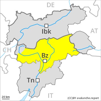
Danger level
 | 2600m
|
Avalanche Problem
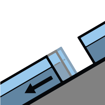
 | | Gliding snow |
|  | |  |
 | | Wind-drifted snow |
|  | |  |

Caution is to be exercised in areas with glide cracks.
On very steep grassy slopes and on sunny slopes only isolated gliding avalanches are possible, even quite large ones. Exposed parts of transportation routes can be endangered occasionally in the regions with a lot of snow.
The clearly visible wind slabs remain in some cases prone to triggering in particular on northwest to north to northeast facing aspects above approximately 2400 m. They can be released by large loads at their margins in particular.
As a consequence of warming during the day and solar radiation dry and moist avalanches are possible as the day progresses. In isolated cases avalanches can be triggered in deep layers of the snowpack and reach quite a large size.
Snowpack
dp.2: gliding snow
Sunshine and high temperatures gave rise on Thursday to moistening of the snowpack in particular on sunny slopes. The snowpack is fairly homogeneous and its surface has a melt-freeze crust that is not capable of bearing a load. This applies on sunny slopes below approximately 2500 m. More recent wind slabs are to be found in particular in gullies and bowls, and behind abrupt changes in the terrain. The various wind slabs have bonded generally well together. Faceted weak layers exist deep in the old snowpack in high Alpine regions. This applies at high altitudes and in high Alpine regions.
Tendency
The avalanche danger will persist.

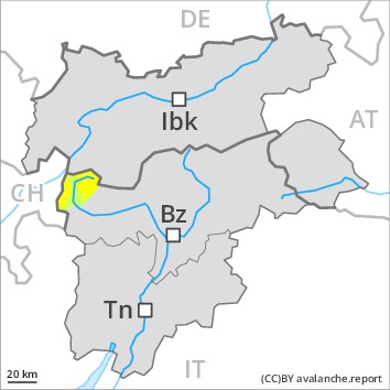
Danger level
 | 2400m
|
Avalanche Problem
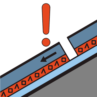
 | | Persistent weak layer |
|  | |  |
 | | Wind-drifted snow |
|  | |  |

Old wind slabs are to be evaluated critically.
The wind slabs of the last few days must be evaluated with care and prudence in particular on northwest to north to northeast facing aspects above approximately 2400 m. In some cases the wind slabs have bonded still only poorly with the old snowpack. As a consequence of warming during the day and solar radiation the prevalence of the avalanche prone locations will increase.
In some places avalanches can be triggered in deep layers of the snowpack and reach large size in isolated cases. This applies in case of releases originating from very steep starting zones at high altitudes and in high Alpine regions that have retained the snow thus far, especially at transitions from a shallow to a deep snowpack. This applies in particular in case of a large load.
Snowpack
These wintry weather conditions gave rise to unfavourable bonding of the snowpack in particular on shady slopes. Faceted weak layers exist deep in the old snowpack especially at high altitudes and in high Alpine regions. Sunshine and high temperatures gave rise on Thursday to significant moistening of the snowpack below approximately 2500 m.
The somewhat older wind slabs are to be found especially in places that are protected from the wind. In some cases the various wind slabs have bonded poorly together. Towards its base, the snowpack is moist. This applies especially at low and intermediate altitudes.
Tendency
The avalanche danger will persist.
