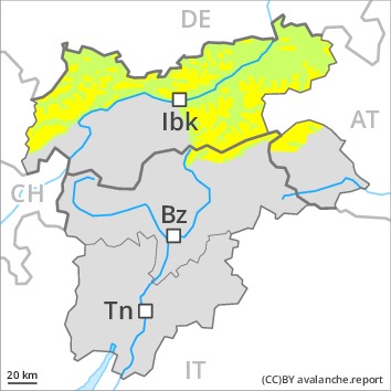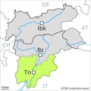
Danger level
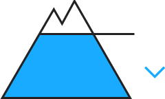
 | 2000m
|
Avalanche Problem

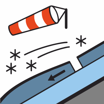
Fresh wind slabs require caution.
As a consequence of new snow and a moderate wind from northerly directions, sometimes avalanche prone wind slabs will form. Caution is to be exercised in particular adjacent to ridgelines in all aspects, as well as on very steep shady slopes above approximately 2000 m. Such avalanche prone locations are clearly recognisable to the trained eye.
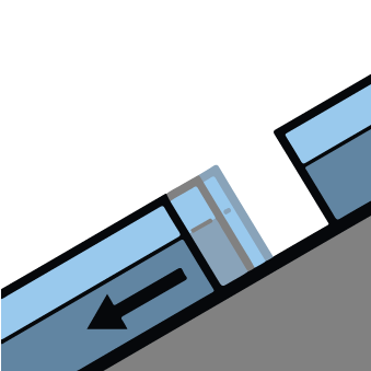
In addition a latent danger of gliding avalanches exists. This applies on steep grassy slopes, especially in east, south and west facing starting zones that have retained the snow thus far. Areas with glide cracks are to be avoided.
Dry avalanches can in very isolated cases be released in deeper layers. This applies on extremely steep shady slopes above approximately 2300 m in areas where the snow cover is rather shallow.
Snowpack
dp.6: cold, loose snow and wind
10 to 20 cm of snow, and up to 30 cm in some localities, will fall. The new snow and wind slabs will be deposited on soft layers on shady slopes above approximately 2000 m.
The old snowpack will be stable over a wide area. Sunny slopes: New snow and wind slabs are lying on a hard crust.
Isolated avalanche prone weak layers exist in the old snowpack. This applies on shady slopes above approximately 2300 m.
At low and intermediate altitudes hardly any snow is lying.
Tendency
Fresh wind slabs represent the main danger. As a consequence of solar radiation more frequent loose snow avalanches are to be expected, but they will be mostly small.
AM

Danger level
Avalanche Problem
PM

Danger level
 | 2400m
|
Avalanche Problem
Currently there are generally favourable conditions. Gliding snow requires caution.
The early morning will see generally favourable conditions. Slight increase in avalanche danger as a consequence of warming during the day and solar radiation.
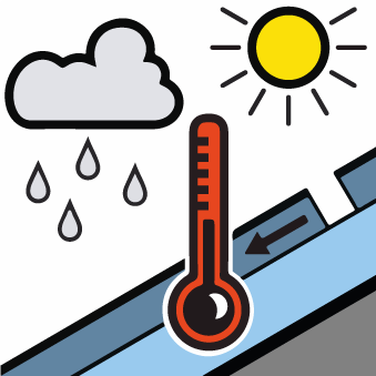
Gliding avalanches are possible in particular in the second half of the day in isolated cases. These can reach dangerously large size. Caution is to be exercised in particular on steep grassy slopes, especially in starting zones that have retained the snow thus far. Gliding avalanches can also be released in the morning on rare occasions. Areas with glide cracks are to be avoided.
Moist avalanches can in isolated cases be released. This applies in particular in case of a large load, especially in the afternoon. Caution is to be exercised in particular on steep slopes below approximately 2400 m.
Dry avalanches can additionally in very isolated cases be released in deeper layers, in particular on extremely steep shady slopes above approximately 2300 m at transitions from a shallow to a deep snowpack.
Snowpack
dp.2: gliding snow
dp.10: springtime scenario
Outgoing longwave radiation during the night will be quite good. The surface of the snowpack has frozen to form a strong crust and will hardly soften at all. In steep terrain there is a danger of falling on the hard snow surface.
The snowpack will be moist, in particular on sunny slopes below approximately 2600 m.
Isolated avalanche prone weak layers exist in the old snowpack, in particular on steep slopes below approximately 2400 m, also on shady slopes above approximately 2300 m in areas where the snow cover is rather shallow. At low and intermediate altitudes hardly any snow is lying.
Tendency
Currently there are favourable conditions. Gliding avalanches require caution.

Danger level
 | 2000m
|
Avalanche Problem

Currently there are generally favourable conditions. Fresh wind slabs adjacent to ridgelines.
As a consequence of new snow and a moderate wind from northerly directions, mostly small wind slabs will form. Caution is to be exercised in particular adjacent to ridgelines. Such avalanche prone locations are clearly recognisable to the trained eye.
In addition a latent danger of gliding avalanches exists. This applies on steep grassy slopes, especially in east, south and west facing starting zones that have retained the snow thus far. Areas with glide cracks are to be avoided.
Dry avalanches can in very isolated cases be released in deeper layers. This applies on extremely steep shady slopes above approximately 2300 m in areas where the snow cover is rather shallow.
Snowpack
dp.6: cold, loose snow and wind
Up to 10 cm of snow will fall. The new snow and wind slabs will be deposited on soft layers on shady slopes above approximately 2000 m.
The old snowpack will be stable over a wide area. Sunny slopes: New snow and wind slabs are lying on a hard crust.
Isolated avalanche prone weak layers exist in the old snowpack. This applies on shady slopes above approximately 2300 m.
At low and intermediate altitudes hardly any snow is lying.
Tendency
Currently there are favourable avalanche conditions. As a consequence of solar radiation loose snow avalanches are possible, but they will be mostly small.

Danger level

Currently there are generally favourable conditions.
Hardly any more gliding avalanches are to be expected, but they can reach medium size in isolated cases. Caution is to be exercised in particular on steep grassy slopes, especially in east, south and west facing starting zones that have retained the snow thus far. Areas with glide cracks are to be avoided.
Dry avalanches can additionally in very isolated cases be released in deeper layers. This applies on extremely steep shady slopes above approximately 2300 m in areas where the snow cover is rather shallow.
Main Alpine Ridge: As a consequence of new snow and a moderate northwesterly wind, mostly small wind slabs will form on Friday in particular adjacent to ridgelines.
Snowpack
The snowpack will be stable over a wide area. The surface of the snowpack has frozen to form a strong crust and will hardly soften at all. In steep terrain there is a danger of falling on the hard snow surface.
Isolated avalanche prone weak layers exist in the old snowpack. This applies on shady slopes above approximately 2300 m.
At low altitude hardly any snow is lying.
Some snow will fall in the north and in the northeast.
Tendency
Currently there are generally favourable conditions.
