A mostly favourable avalanche situation will prevail. Small avalanches and moist snow slides are still possible in particular in the second half of the day.
As a consequence of warming there will be a gradual increase in the danger of wet and gliding avalanches, in particular on south and southwest facing slopes at high altitude, as well as on shady slopes below approximately 2200 m. Wet avalanches can in isolated cases be released in near-ground layers. The fresh and somewhat older wind slabs are lying on the unfavourable surface of an old snowpack in all aspects at elevated altitudes. They are to be avoided as far as possible. Avalanches can be triggered in the various wind slab layers and reach medium size. Caution is to be exercised in the vicinity of peaks, as well as at transitions from a shallow to a deep snowpack, when entering gullies and bowls for example. Backcountry touring calls for meticulous route selection.
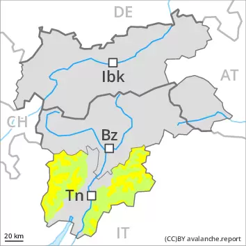
Snowpack
As a consequence of highly fluctuating temperatures a crust formed on the surface. From early morning the weather will be very warm. These weather conditions will bring about a weakening of the snowpack as the day progresses in all aspects. At intermediate altitudes the snowpack will soften in the morning already. Above the tree line snow depths vary greatly, depending on the infuence of the wind. The fresh wind slabs are in some cases prone to triggering. This applies in particular on shady slopes at high altitude. The old snowpack consists of faceted crystals. Faceted weak layers exist in the centre of the snowpack, in particular on shady slopes above approximately 2200 m. On sunny slopes below approximately 2200 m only a little snow is now lying.
Tendency
As a consequence of highly fluctuating temperatures the snow drift accumulations will stabilise during the next few days. The weather will be partly cloudy. As the temperature drops hardly any more natural avalanches are possible.
Danger level
2400m
Avalanche Problem
Wind-drifted snow
2400m
Fresh wind slabs require caution.
A generally favourable avalanche situation will prevail. Fresh wind slabs represent the main danger. Avalanche prone locations for dry avalanches are to be found in particular adjacent to ridgelines above approximately 2400 m and in the vicinity of peaks. The avalanche prone locations are easy to recognise. Dry avalanches can additionally in very isolated cases be released in deep layers by large loads. This applies in particular on extremely steep west, north and east facing slopes above approximately 2400 m in areas where the snow cover is rather shallow. The number and size of avalanche prone locations will increase with altitude.
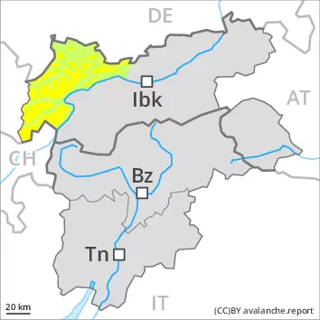
Snowpack
dp.6: cold, loose snow and wind
The wind slabs of the last few days have bonded quite well with the old snowpack. As a consequence of the occasionally strong westerly wind, fresh snow drift accumulations will form during the next few days. These are mostly small and in some cases prone to triggering. The snowpack will be subject to considerable local variations. In very isolated cases weak layers exist in the centre of the old snowpack in particular on west, north and east facing slopes. This applies in particular above approximately 2400 m. Above the tree line snow depths vary greatly, depending on the infuence of the wind. On sunny slopes below approximately 2200 m only a little snow is now lying. The snowpack is moist and its surface has a melt-freeze crust. This applies in particular on sunny slopes and at low and intermediate altitudes.
Tendency
A generally favourable avalanche situation will prevail. The wind will be strong in some localities.
Danger level
2400m
Avalanche Problem
Wind-drifted snow
2400m
Wind slabs are to be evaluated with care and prudence. This applies at high altitudes and in high Alpine regions.
The new snow and wind slabs of the last few days represent the main danger. The older wind slabs can be released, mostly by large loads. The avalanche prone locations are to be found in particular on steep northwest to north to east facing slopes above approximately 2400 m. They are sometimes covered with new snow and are therefore difficult to recognise. Caution is to be exercised in particular in the vicinity of peaks, as well as adjacent to ridgelines. At elevated altitudes these avalanche prone locations are more prevalent and larger. In isolated cases avalanches are large. Dry avalanches can additionally in very isolated cases be released in deep layers by large loads. This applies in particular on extremely steep west, north and east facing slopes above approximately 2400 m in areas where the snow cover is rather shallow. Snow sport activities outside marked and open pistes call for experience in the assessment of avalanche danger.
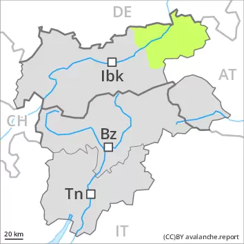
Snowpack
dp.6: cold, loose snow and wind
The wind slabs of the last few days have bonded quite well with the old snowpack. As a consequence of the occasionally strong westerly wind, fresh snow drift accumulations will form during the next few days. These are mostly small and in some cases prone to triggering. The snowpack will be subject to considerable local variations. In very isolated cases weak layers exist in the centre of the old snowpack in particular on west, north and east facing slopes. This applies in particular above approximately 2400 m. Above the tree line snow depths vary greatly, depending on the infuence of the wind. On sunny slopes below approximately 2200 m only a little snow is now lying. The snowpack is moist and its surface has a melt-freeze crust. This applies in particular on sunny slopes and at low and intermediate altitudes.
Tendency
The avalanche danger will persist. The wind will be strong in some localities.
Danger level
A favourable avalanche situation will prevail.
A low (level 1) danger of gliding avalanches and snow slides exists. This applies on very steep grassy slopes.
Snowpack
The snowpack will be stable. It is moist and its surface has a melt-freeze crust. This applies in particular on sunny slopes, as well as at low and intermediate altitudes. At low and intermediate altitudes a little snow is lying. Above the tree line snow depths vary greatly, depending on the infuence of the wind.
Tendency
A favourable avalanche situation will prevail.
Danger level
1800m
Avalanche Problem
Wet snow
1800m
A mostly favourable avalanche situation will prevail. Wet and gliding avalanches are still possible during the day.
As the day progresses until the temperature drops there will be only a slight increase in the danger of wet and gliding avalanches, in particular on west, north and east facing slopes. Avalanches can in very isolated cases be released in near-ground layers, mostly by large additional loads, especially on very steep shady slopes above approximately 2200 m, as well as in gullies and bowls at elevated altitudes. In these regions from a snow sport perspective, in most cases insufficient snow is lying.
Snowpack
As a consequence of highly fluctuating temperatures a crust formed on the surface. Today the weather will be very warm. These weather conditions will bring about a rapid weakening of the snowpack from the early morning in all aspects. The old snowpack consists of faceted crystals. Faceted weak layers exist in the centre of the snowpack, in particular on shady slopes above approximately 2200 m. On sunny slopes as well as below approximately 1800 m only a little snow is now lying.
Tendency
The weather will be partly cloudy. As the temperature drops hardly any more natural avalanches are possible.