Danger level
 | 2600m |
|  |
|  |

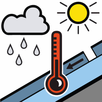
Wet and gliding avalanches are still possible.
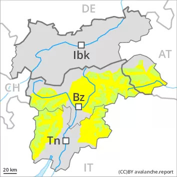
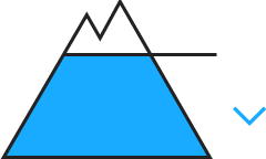
Wet avalanches can in some places be released by people and reach medium size. This applies on steep east, south and west facing slopes below approximately 2600 m, as well as in all aspects at intermediate altitudes. Caution is to be exercised in particular in areas where the snow cover is rather shallow. Here the snowpack is weaker.
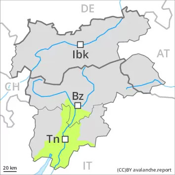
In addition an appreciable danger of gliding avalanches exists. This applies on steep grassy slopes in the regions with a lot of snow. The gliding avalanches can be released naturally and reach quite a large size. Areas with glide cracks are to be avoided as far as possible.
Snowpack
dp.10: springtime scenario
dp.2: gliding snow
East, south and west facing slopes as well as low and intermediate altitudes:
The snowpack is wet all the way through. Outgoing longwave radiation during the night will be barely evident. The surface of the snowpack will freeze very little. Little rain will fall in some localities.
Shady slopes and high Alpine regions:
The snowpack will be generally stable.
Snow depths vary greatly, depending on the infuence of the wind. In particular in the south as well as at low and intermediate altitudes only a little snow is now lying, especially on sunny slopes.
Tendency
Hardly any decrease in danger of wet avalanches.
