AM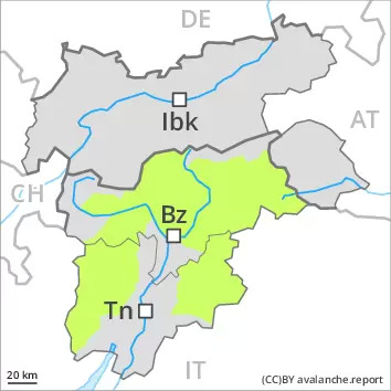
Danger level
 |
PM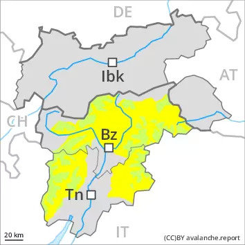
Danger level
 | 2800m |
|  |
|  |
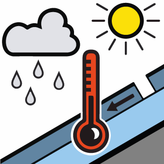
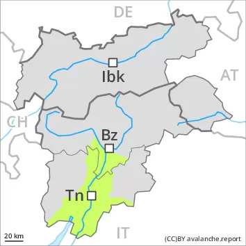
As the day progresses a moderate danger of wet avalanches will prevail.
The early morning will see quite favourable conditions mostly. Individual avalanche prone locations for dry avalanches are to be found in particular on very steep slopes above approximately 2800 m.
As a consequence of warming during the day and solar radiation there will be an increase in the danger of wet avalanches. Small and, in isolated cases, medium-sized wet avalanches are possible. This applies in particular on west, south and east facing slopes.
Snowpack
dp.10: springtime scenario
Isolated avalanche prone weak layers exist in the top section of the snowpack at high altitudes and in high Alpine regions.
On Wednesday it will be very mild. The surface of the snowpack has frozen to form a strong crust and will already soften in the late morning. The spring-like weather conditions as the day progresses will give rise to significant softening of the snowpack.
Less snow than usual is lying.
Tendency
The conditions are spring-like. Increase in danger of wet avalanches as a consequence of warming during the day and solar radiation.
