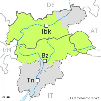
AM
Danger level
 |
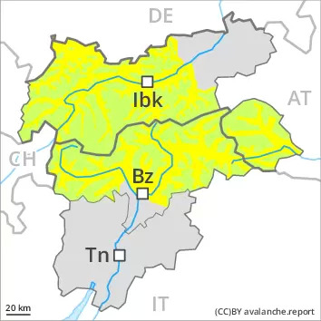
PM
Danger level
 | 2400m |
|  |
|  |
As a consequence of warming and solar radiation a moderate danger of wet avalanches will prevail.
The early morning will see favourable conditions over a wide area. In the afternoon as a consequence of warming during the day and solar radiation there will be a gradual increase in the danger of wet avalanches, in particular on very steep sunny slopes below approximately 2800 m, as well as on shady slopes below approximately 2400 m. Backcountry tours should be started early and concluded timely.
Snowpack
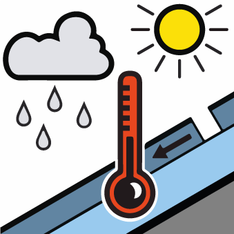
dp.10: springtime scenario
During the night the weather will be partly cloudy, especially on the Main Alpine Ridge and to the south. The spring-like weather conditions as the day progresses will give rise to gradual softening of the snowpack. This applies in particular on steep sunny slopes, as well as in all aspects below approximately 2400 m.
Towards its base, the snowpack is well consolidated. In all regions only a small amount of snow is lying for the time of year. At low and intermediate altitudes from a snow sport perspective, in most cases insufficient snow is lying.
Tendency
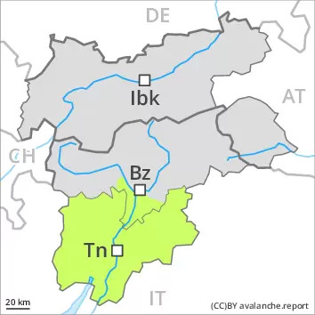
In the north a generally clear night: The avalanche conditions are spring-like.
In the south an overcast night: The surface of the snowpack will freeze, but a strong crust will not form and will already be soft in the early morning.


