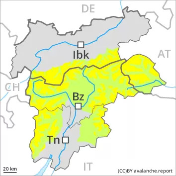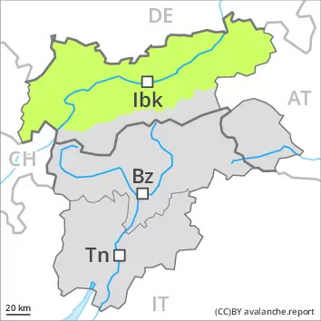
Danger level
 | 2600m |
|  |
|  |

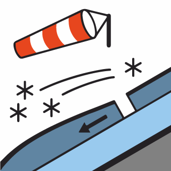
Fresh wind slabs require caution.
As a consequence of new snow and a strong southwesterly wind, mostly small wind slabs will form at high altitudes and in high Alpine regions. The fresh wind slabs are in some cases prone to triggering, in particular on steep shady slopes, as well as adjacent to ridgelines and in pass areas. They are to be avoided in very steep terrain. At elevated altitudes the avalanche prone locations are more prevalent.
In the regions with a lot of snow small to medium-sized loose snow avalanches are to be expected, in the event of prolonged bright spells especially on extremely steep slopes and.
As the temperature drops hardly any more wet avalanches are possible.
Snowpack
dp.6: cold, loose snow and wind
In some regions 10 to 20 cm of snow, and even more in some localities, will fall until Sunday. The fresh snow and the mostly small wind slabs that are being formed by the strong southwesterly wind will be deposited on soft layers. These are in isolated cases prone to triggering at elevated altitudes.
The old snowpack will be in most cases stable. In all regions only a small amount of snow is lying for the time of year. At low and intermediate altitudes from a snow sport perspective, in most cases insufficient snow is lying.
Tendency
As a consequence of solar radiation more loose snow avalanches are possible.


