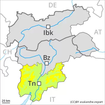
Danger level
 | 2000m |
|  |
|  | ||||
|  |
|  |

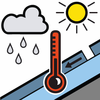
Fresh wind slabs require caution. Wet snow requires caution.
As a consequence of new snow and a strong southwesterly wind, mostly small wind slabs formed at high altitudes and in high Alpine regions. The fresh wind slabs are in some cases prone to triggering. Avalanches can be released by small loads and reach medium size, in particular on steep shady slopes, as well as adjacent to ridgelines and in pass areas. They are to be avoided as far as possible. At elevated altitudes the avalanche prone locations are more prevalent. In the regions with a lot of snow small and, in isolated cases, medium-sized wet loose snow avalanches are possible above approximately 2000 m.
Snowpack
dp.6: cold, loose snow and wind
dp.10: springtime scenario
On Monday it will be partly cloudy. The surface of the snowpack will freeze to form a strong crust only at high altitudes. In all regions rain fell up to 1500 m. As a consequence of snowfall above approximately 1500 m and the strong southwesterly wind, fresh snow drift accumulations formed. These are mostly only small. The spring-like weather conditions will give rise to rapid softening of the snowpack. This applies in particular below approximately 2400 m.
At low and intermediate altitudes from a snow sport perspective, in most cases insufficient snow is lying.
Tendency
Fresh wind slabs represent the main danger.

