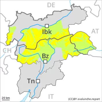
Danger level
 | 2800m |
|  |
|  |

![]()
Fresh wind slabs require caution.
As a consequence of new snow and wind from westerly directions, wind slabs will form in particular in high Alpine regions. The soft wind slabs are mostly small but in some cases prone to triggering, in particular on steep shady slopes. The avalanche prone locations are to be found especially adjacent to ridgelines and in pass areas above approximately 2800 m. They are to be avoided in particular in very steep terrain.
In addition in the regions exposed to heavier precipitation, small and, in isolated cases, medium-sized loose snow avalanches are to be expected. In the event of prolonged bright spells this applies in extremely steep terrain, in particular in the regions exposed to heavier precipitation.
Snowpack
dp.6: cold, loose snow and wind
Over a wide area 5 to 15 cm of snow, and even more in some localities, will fall until the evening. The fresh snow and the mostly small wind slabs to be found adjacent to ridgelines and in pass areas are lying on soft layers in particular on steep shady slopes. The old snowpack will be in most cases stable. In all regions only a small amount of snow is lying for the time of year. At low and intermediate altitudes from a snow sport perspective, in most cases insufficient snow is lying.
Tendency
As a consequence of mild temperatures solar radiation the snow drift accumulations will stabilise. Slight increase in danger of moist and wet snow slides as a consequence of warming during the day and solar radiation.

