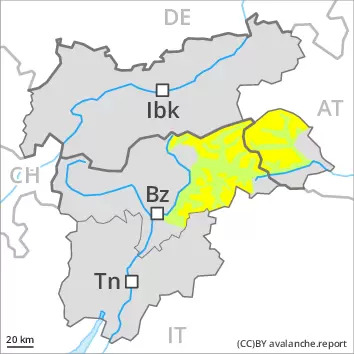
Danger level
 | 1800m |
|  |
|  |

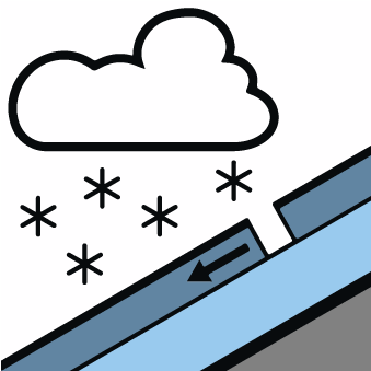
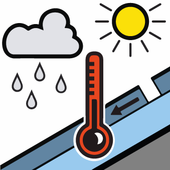
Moist loose snow avalanches are the main danger.
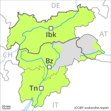
This is the final hazard map for the winter 2021/22. Regular avalanche bulletins with hazard maps will appear again from around the start of December, depending on the snow situation.
As the day progresses numerous small and medium-sized moist loose snow avalanches are to be expected above approximately 1800 m. This applies on extremely steep slopes, in the event of prolonged bright spells especially. Restraint should be exercised because avalanches can sweep people along and give rise to falls.
In addition the small wind slabs of last week are prone to triggering in isolated cases still. This applies on near-ridge shady slopes in high Alpine regions.
Snowpack
dp.10: springtime scenario
dp.6: cold, loose snow and wind
15 to 30 cm of snow, and even more in some localities, has fallen above approximately 1800 m. The wind will be light over a wide area.
The meteorological conditions will bring about a weakening of the near-surface layers as the day progresses in all aspects.
The older wind slabs have bonded quite well with the old snowpack in high Alpine regions.
In all regions only a small amount of snow is lying for the time of year. At low and intermediate altitudes from a snow sport perspective, in most cases insufficient snow is lying.
Tendency
Moist loose snow avalanches are the main danger.
