Danger level
Avalanche Problem

Natural wet avalanches are likely to occur from the early morning.
Wet snow represents the main danger.
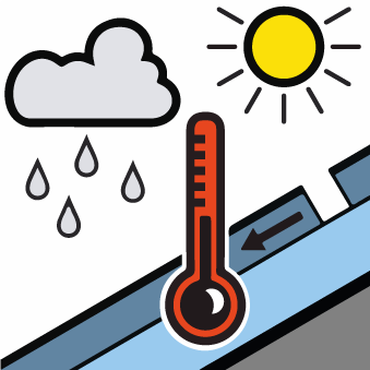
The danger of wet and gliding avalanches will increase during the day, reaching danger level 4 (high). As a consequence of warming during the day and the solar radiation, the likelihood of wet avalanches being released will increase significantly in particular on steep slopes below the tree line. The surface of the snowpack is hardly frozen at all and will already soften in the late morning. A clear night will be followed in the early morning by quite favourable conditions generally, but the danger of wet and gliding avalanches will increase later. During the morning as well, individual, then as the precipitation becomes heavier more wet avalanches are to be expected. On steep southeast, south and southwest facing slopes and at low and intermediate altitudes numerous medium-sized to large natural wet avalanches are to be expected as a consequence of warming. On sunny slopes a high danger of wet and gliding avalanches will be encountered over a wide area. As the temperature drops there will be a gradual decrease in the avalanche danger towards the evening.
Snowpack
Tendency

Danger level
Avalanche Problem

Natural wet avalanches are likely to occur from the early morning.
Wet snow represents the main danger.
The danger of wet and gliding avalanches will increase during the day, reaching danger level 4 (high). As a consequence of warming during the day and the solar radiation, the likelihood of wet avalanches being released will increase significantly in particular on steep slopes below the tree line. The surface of the snowpack is hardly frozen at all and will already soften in the late morning. A clear night will be followed in the early morning by quite favourable conditions generally, but the danger of wet and gliding avalanches will increase later. During the morning as well, individual, then as the precipitation becomes heavier more wet avalanches are to be expected. On steep southeast, south and southwest facing slopes and at low and intermediate altitudes numerous medium-sized to large natural wet avalanches are to be expected as a consequence of warming. On sunny slopes a high danger of wet and gliding avalanches will be encountered over a wide area. As the temperature drops there will be a gradual decrease in the avalanche danger towards the evening.
Snowpack
Tendency

Danger level
Avalanche Problem

Natural wet avalanches are likely to occur from the early morning.
Wet snow represents the main danger.
The danger of wet and gliding avalanches will increase during the day, reaching danger level 4 (high). As a consequence of warming during the day and the solar radiation, the likelihood of wet avalanches being released will increase significantly in particular on steep slopes below the tree line. The surface of the snowpack is hardly frozen at all and will already soften in the late morning. A clear night will be followed in the early morning by quite favourable conditions generally, but the danger of wet and gliding avalanches will increase later. During the morning as well, individual, then as the precipitation becomes heavier more wet avalanches are to be expected. On steep southeast, south and southwest facing slopes and at low and intermediate altitudes numerous medium-sized to large natural wet avalanches are to be expected as a consequence of warming. On sunny slopes a high danger of wet and gliding avalanches will be encountered over a wide area. As the temperature drops there will be a gradual decrease in the avalanche danger towards the evening.
Snowpack
Tendency

Danger level
Avalanche Problem

Weakly bonded old snow
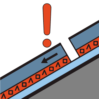
Weakly bonded old snow in particular on steep shady slopes. Distinct weak layers in the upper part of the snowpack can be released in isolated cases even by individual winter sport participants in particular on steep shady slopes. This applies in particular in little used terrain, as well as in areas where the snow cover is rather shallow above the tree line. Avalanches can penetrate even deep layers and reach a dangerous size. Distinct weak layers in the old snowpack necessitate defensive route selection. Isolated whumpfing sounds can indicate the danger.
Snowpack
dp.1: deep persistent weak layer
dp.4: cold following warm / warm following cold
The old snowpack will be prone to triggering in some places. This applies in particular on steep shady slopes above approximately 2000 m. Towards its surface, the snowpack is unfavourably layered and its surface consists of loosely bonded snow lying on a melt-freeze crust that is barely capable of bearing a load. Towards its base, the snowpack is faceted and weak. Remotely triggered avalanches are possible in isolated cases. Reports filed by observers and field observations confirm the unfavourable bonding of the snowpack on steep shady slopes. The meteorological conditions will foster a substantial weakening of the near-surface layers.
The snowpack will be prone to triggering in the northeast and in the northwest.
Tendency

Danger level
Avalanche Problem

The avalanche prone locations are quite prevalent.
Weak layers in the old snowpack represent the main danger. These avalanche prone locations are to be found in all aspects above approximately 1500 m. Above approximately 1500 m medium-sized and large natural avalanches are to be expected. In particular on steep slopes they can penetrate down to the ground and can reach as far as the valley bottom. Avalanches can in many places be released by small loads and reach large size. The avalanches can occur even in moderately steep terrain.
Snowpack
Tendency

Danger level
Avalanche Problem

Gliding avalanches are to be expected.
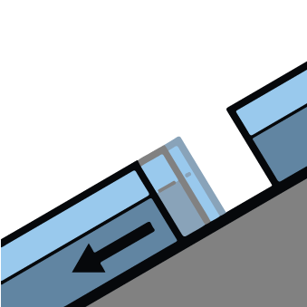
Caution is to be exercised in areas with glide cracks. As a consequence of the rain, the likelihood of gliding avalanches being released will increase quickly in all aspects at low and intermediate altitudes. Numerous gliding avalanches are possible at any time, even large ones in isolated cases. Individual gliding avalanches can also be released in the night or in the morning. Exposed transportation routes and exposed settlements can be endangered. The gliding avalanches can in isolated cases reach fairly large size and in some places endanger transportation routes that are exposed.
Snowpack
dp.2: gliding snow
As a consequence of mild temperatures and rain up to high altitudes an unfavourable avalanche situation developed during the last two days. The snowpack is fairly homogeneous and its surface has a melt-freeze crust. Towards its base, the snowpack is moist. The snowpack is wet all the way through. On cut and grassy slopes numerous mostly small avalanches occurred naturally. Gliding avalanches can be released at any time of day or night. The conditions will prevent a substantial change towards better conditions.
Tendency

Danger level
Avalanche Problem

Weakly bonded old snow
Weakly bonded old snow in particular on steep shady slopes. Distinct weak layers in the upper part of the snowpack can be released in isolated cases even by individual winter sport participants in particular on steep shady slopes. This applies in particular in little used terrain, as well as in areas where the snow cover is rather shallow above the tree line. Avalanches can penetrate even deep layers and reach a dangerous size. Distinct weak layers in the old snowpack necessitate defensive route selection. Isolated whumpfing sounds can indicate the danger.
Snowpack
Tendency

Danger level
Avalanche Problem

Gliding avalanches are to be expected.
Caution is to be exercised in areas with glide cracks. As a consequence of the rain, the likelihood of gliding avalanches being released will increase quickly in all aspects at low and intermediate altitudes. Numerous gliding avalanches are possible at any time, even large ones in isolated cases. Individual gliding avalanches can also be released in the night or in the morning. Exposed transportation routes and exposed settlements can be endangered. The gliding avalanches can in isolated cases reach fairly large size and in some places endanger transportation routes that are exposed.
Snowpack
Tendency

Danger level
Avalanche Problem

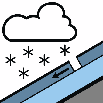
Fresh wind slabs represent the main danger.
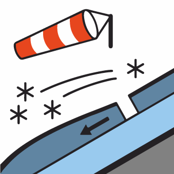
Since the early morning the wind has been strong adjacent to ridgelines over a wide area. The sometimes strong wind will transport the old snow. In the course of the day the previously small wind slabs will increase in size once again. As a consequence of a gathering storm force wind from northwesterly directions, large surface-area wind slabs will form since Monday especially adjacent to ridgelines as well as above the tree line. The avalanche prone locations are to be found in particular on wind-loaded slopes of all aspects above approximately 2200 m and at transitions from a shallow to a deep snowpack. The fresh wind slabs are to be found in particular adjacent to ridgelines and in gullies and bowls. Over a wide area easily released wind slabs will form. The sometimes large wind slabs can be released easily, even by a single winter sport participant, especially on east to south to west facing aspects above the tree line. This applies in particular at their margins.
Snowpack
Tendency

Danger level
Avalanche Problem

Gliding avalanches are to be expected.
Caution is to be exercised in areas with glide cracks. As a consequence of the rain, the likelihood of gliding avalanches being released will increase quickly in all aspects at low and intermediate altitudes. Numerous gliding avalanches are possible at any time, even large ones in isolated cases. Individual gliding avalanches can also be released in the night or in the morning. Exposed transportation routes and exposed settlements can be endangered. The gliding avalanches can in isolated cases reach fairly large size and in some places endanger transportation routes that are exposed.
Snowpack
Tendency

Danger level
Avalanche Problem

Fresh wind slabs represent the main danger.
Since the early morning the wind has been strong adjacent to ridgelines over a wide area. The sometimes strong wind will transport the old snow. In the course of the day the previously small wind slabs will increase in size once again. As a consequence of a gathering storm force wind from northwesterly directions, large surface-area wind slabs will form since Monday especially adjacent to ridgelines as well as above the tree line. The avalanche prone locations are to be found in particular on wind-loaded slopes of all aspects above approximately 2200 m and at transitions from a shallow to a deep snowpack. The fresh wind slabs are to be found in particular adjacent to ridgelines and in gullies and bowls. Over a wide area easily released wind slabs will form. The sometimes large wind slabs can be released easily, even by a single winter sport participant, especially on east to south to west facing aspects above the tree line. This applies in particular at their margins.
Snowpack
Tendency

Danger level
Avalanche Problem

Fresh wind slabs represent the main danger.
Since the early morning the wind has been strong adjacent to ridgelines over a wide area. The sometimes strong wind will transport the old snow. In the course of the day the previously small wind slabs will increase in size once again. As a consequence of a gathering storm force wind from northwesterly directions, large surface-area wind slabs will form since Monday especially adjacent to ridgelines as well as above the tree line. The avalanche prone locations are to be found in particular on wind-loaded slopes of all aspects above approximately 2200 m and at transitions from a shallow to a deep snowpack. The fresh wind slabs are to be found in particular adjacent to ridgelines and in gullies and bowls. Over a wide area easily released wind slabs will form. The sometimes large wind slabs can be released easily, even by a single winter sport participant, especially on east to south to west facing aspects above the tree line. This applies in particular at their margins.
Snowpack
Tendency

Danger level
Avalanche Problem

Natural avalanches are to be expected.
The new snow of the last two days represents the main danger.
The new snow of the last two days represents the main danger. This snow can be released easily or naturally in all aspects above the tree line. The new snow can be released by a single winter sport participant especially on west to north to south facing aspects above the tree line. Over a wide area 50 cm of snow, and up to 70 cm in some localities, will fall until the early morning above approximately 1800 m. In particular in the regions exposed to heavier precipitation numerous medium-sized and, in isolated cases, large slab avalanches are to be expected as the snowfall becomes more intense. As a consequence of new snow and a sometimes storm force wind, sometimes large wind slabs will form in the course of the day in all aspects. The off-piste conditions are dangerous. Temporary safety measures may be necessary.
Snowpack
dp.5: snowfall after a long period of cold
dp.8: surface hoar blanketed with snow
Over a wide area 50 cm of snow, and up to 70 cm in some localities, will fall until the early morning above approximately 1800 m. The new snow can be released easily or naturally in all aspects above the tree line. The covering of new snow is soft. Distinct weak layers in the upper part of the snowpack are difficult to recognise. The new snow will be deposited on surface hoar in areas close to the tree line. Avalanches can be released in deeper layers very easily. Above the tree line Towards its base, the snowpack is faceted and weak. Over a wide area new snow is lying on a weakly bonded old snowpack.
Tendency

Danger level
Avalanche Problem

Natural avalanches are to be expected.
The new snow of the last two days represents the main danger.
The new snow of the last two days represents the main danger. This snow can be released easily or naturally in all aspects above the tree line. The new snow can be released by a single winter sport participant especially on west to north to south facing aspects above the tree line. Over a wide area 50 cm of snow, and up to 70 cm in some localities, will fall until the early morning above approximately 1800 m. In particular in the regions exposed to heavier precipitation numerous medium-sized and, in isolated cases, large slab avalanches are to be expected as the snowfall becomes more intense. As a consequence of new snow and a sometimes storm force wind, sometimes large wind slabs will form in the course of the day in all aspects. The off-piste conditions are dangerous. Temporary safety measures may be necessary.
Snowpack
dp.5: snowfall after a long period of cold
dp.8: surface hoar blanketed with snow
Over a wide area 50 cm of snow, and up to 70 cm in some localities, will fall until the early morning above approximately 1800 m. The new snow can be released easily or naturally in all aspects above the tree line. The covering of new snow is soft. Distinct weak layers in the upper part of the snowpack are difficult to recognise. The new snow will be deposited on surface hoar in areas close to the tree line. Avalanches can be released in deeper layers very easily. Above the tree line Towards its base, the snowpack is faceted and weak. Over a wide area new snow is lying on a weakly bonded old snowpack.
Tendency

Danger level
Avalanche Problem

Natural avalanches are to be expected.
The new snow of the last two days represents the main danger.
The new snow of the last two days represents the main danger. This snow can be released easily or naturally in all aspects above the tree line. The new snow can be released by a single winter sport participant especially on west to north to south facing aspects above the tree line. Over a wide area 50 cm of snow, and up to 70 cm in some localities, will fall until the early morning above approximately 1800 m. In particular in the regions exposed to heavier precipitation numerous medium-sized and, in isolated cases, large slab avalanches are to be expected as the snowfall becomes more intense. As a consequence of new snow and a sometimes storm force wind, sometimes large wind slabs will form in the course of the day in all aspects. The off-piste conditions are dangerous. Temporary safety measures may be necessary.
Snowpack
dp.5: snowfall after a long period of cold
dp.8: surface hoar blanketed with snow
Over a wide area 50 cm of snow, and up to 70 cm in some localities, will fall until the early morning above approximately 1800 m. The new snow can be released easily or naturally in all aspects above the tree line. The covering of new snow is soft. Distinct weak layers in the upper part of the snowpack are difficult to recognise. The new snow will be deposited on surface hoar in areas close to the tree line. Avalanches can be released in deeper layers very easily. Above the tree line Towards its base, the snowpack is faceted and weak. Over a wide area new snow is lying on a weakly bonded old snowpack.
Tendency

Danger level

Currently there are quite favourable conditions generally.
Currently there are quite favourable conditions generally. Avalanches can still in isolated cases be released by large loads, but they will be small in most cases. This applies especially in extremely steep terrain, as well as at transitions from a shallow to a deep snowpack, when entering gullies and bowls for example. Elsewhere, avalanches can in some cases be released.
Snowpack
Tendency

Danger level

Currently there are quite favourable conditions generally.
Currently there are quite favourable conditions generally. Avalanches can still in isolated cases be released by large loads, but they will be small in most cases. This applies especially in extremely steep terrain, as well as at transitions from a shallow to a deep snowpack, when entering gullies and bowls for example. Elsewhere, avalanches can in some cases be released.
Snowpack
Tendency

Danger level

Currently there are quite favourable conditions generally.
Currently there are quite favourable conditions generally. Avalanches can still in isolated cases be released by large loads, but they will be small in most cases. This applies especially in extremely steep terrain, as well as at transitions from a shallow to a deep snowpack, when entering gullies and bowls for example. Elsewhere, avalanches can in some cases be released.
Snowpack
Tendency


