Danger level
 | 2200m |
|  |
|  | ||||
|  |
|  |

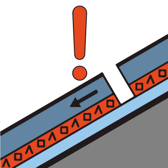
Weak layers in the old snowpack represent the main danger.
In some places avalanches can be triggered in the weakly bonded old snow, in particular on very steep west, north and east facing slopes above approximately 2200 m, as well as on very steep sunny slopes at elevated altitudes. Avalanches can in isolated cases reach medium size.
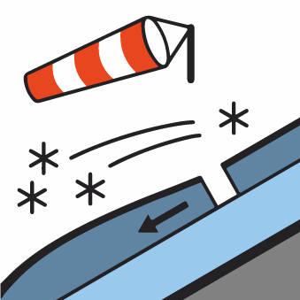
The mostly small wind slabs of the last few days are to be evaluated with care and prudence in particular on very steep shady slopes, especially adjacent to ridgelines and in pass areas at elevated altitudes.
Only isolated gliding avalanches and moist snow slides are possible, but they will be mostly small.
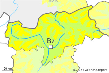
In regions neighbouring those that are subject to danger level 3 (considerable) the avalanche prone locations are more prevalent and the danger is slightly greater.
Snowpack
dp.1: deep persistent weak layer
Towards its base, the snowpack is faceted, especially on steep west, north and east facing slopes above approximately 2200 m, as well as on steep sunny slopes at elevated altitudes.
The fresh wind slabs are lying on weak layers in particular on shady slopes at elevated altitudes.
Towards its surface, the snowpack is hard and its surface has a melt-freeze crust that is not capable of bearing a load. This applies in the south on steep sunny slopes below approximately 2600 m. Some snow will fall in particular in the north.
Tendency
Weakly bonded old snow requires caution.
