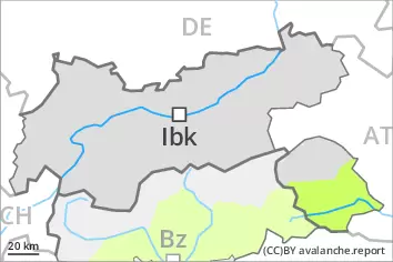
Danger level
 | 2400m |
|  |
|  | ||||
| |
|  |


![]()
Weakly bonded old snow above approximately 2400 m. Fresh wind slabs require caution.
In some places avalanches can be triggered in the weakly bonded old snow and reach medium size in isolated cases. The avalanche prone locations are to be found in particular on steep northwest to north to northeast facing slopes above approximately 2400 m. These places are rather rare but are difficult to recognise. The prevalence of the avalanche prone locations will increase with altitude. Caution is to be exercised at transitions from a shallow to a deep snowpack.
In addition the fresh wind slabs are prone to triggering in isolated cases still. They are to be avoided in particular on very steep shady slopes at elevated altitudes.
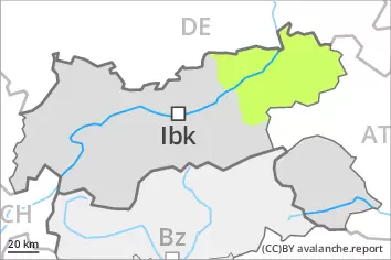
Snowpack
dp.1: deep persistent weak layer
dp.6: cold, loose snow and wind
Towards its base, the snowpack is faceted, especially on steep shady slopes above approximately 2400 m, as well as on steep sunny slopes at elevated altitudes.
Fresh wind slabs are lying on soft layers in particular on shady slopes above approximately 2400 m.
Sunshine and high temperatures will give rise as the day progresses to moistening of the snowpack.
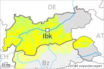
Tendency
On Sunday it will be partly cloudy. Above approximately 1000 m snow will fall from the afternoon in particular in the south. The wind will be strong to storm force. The old snowpack remains prone to triggering in some places. During the first half of the night as a consequence of new snow and wind there will be only a slight increase in the avalanche danger.