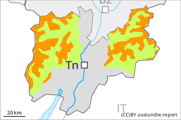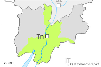
Danger level
 | 2000m |
|  |
|  | ||||
|  |
|  |

Wet snow represents the main danger.
Up to 2000 m rain will fall until the early morning over a wide area. Some snow will fall during the night. As a consequence of the precipitation more frequent medium-sized and, in isolated cases, large moist and wet avalanches are possible. The wind slabs of the last few days can be released by a single winter sport participant. Avalanche prone locations are to be found in gullies and bowls, and behind abrupt changes in the terrain. The wind slabs are to be bypassed as far as possible.
Snowpack
dp.10: springtime scenario
Over a wide area 5 to 10 cm of snow, and even more in some localities, will fall until the early morning. The spring-like weather conditions will give rise to rapid moistening of the snowpack in particular on steep sunny slopes. The sometimes new snow-covered wind slabs of the last few days remain for the foreseeable future prone to triggering at high altitude.
Tendency
Medium-sized natural avalanches are likely.


