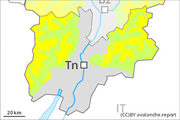
Danger level
 | 2200m |
|  |
|  |

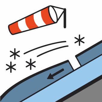
Fresh wind slabs require caution.
As a consequence of the strong wind, fresh snow drift accumulations will form. These are prone to triggering at elevated altitudes. Caution is to be exercised in particular adjacent to ridgelines in gullies and bowls, and behind abrupt changes in the terrain above approximately 2200 m. These avalanche prone locations are easy to recognise.
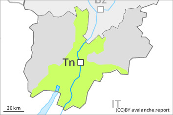
In addition a certain danger of gliding avalanches exists. This applies in the regions with a lot of snow on steep east, south and west facing slopes below approximately 2600 m. Caution is to be exercised in areas with glide cracks.
Snowpack
dp.6: cold, loose snow and wind
dp.2: gliding snow
Over a wide area 10 to 20 cm of snow, and even more in some localities, fell on Sunday above approximately 1000 m. The wind will be moderate to strong in some regions. The fresh wind slabs are lying on soft layers at elevated altitudes. The fresh wind slabs can in some cases be released easily.
Towards its base, the snowpack is faceted. The amount of snow is subject to significant local variations above the tree line.
Low and intermediate altitudes: The old snowpack is fairly homogeneous and its surface has a melt-freeze crust that is strong in many cases, this also applies on steep sunny slopes at high altitude.
Tendency
Fresh wind slabs require caution.
A certain danger of gliding avalanches exists.


