Danger level
 |

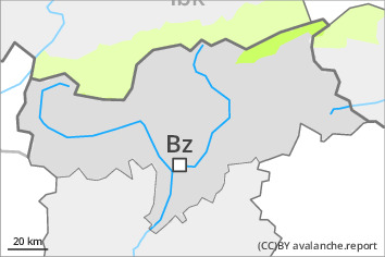
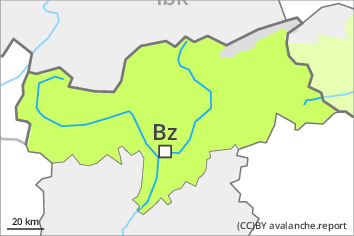
Low avalanche danger will prevail. The conditions are favourable over a wide area.
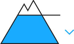
At elevated altitudes small wind slabs will form. Fresh and somewhat older wind slabs are in individual cases still prone to triggering. Individual avalanche prone locations are to be found on very steep shady slopes above approximately 2600 m. This applies in particular adjacent to ridgelines.
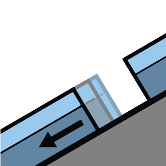
Only isolated gliding avalanches are possible, in particular on steep east, south and west facing slopes below approximately 2600 m. Areas with glide cracks are to be avoided. Individual moist and wet avalanches are possible, but they will be mostly small, in particular on extremely steep sunny slopes.
Snowpack
Some snow will fall in some localities, in particular in the north. The moderate wind will transport only a little snow. The snowpack will be in most cases stable.
Towards its base, the snowpack consists of faceted crystals. The snowpack will be subject to considerable local variations above the tree line.
Intermediate and high altitudes: The old snowpack is moist and its surface has a melt-freeze crust that is strong in many cases. Sunshine and high temperatures will give rise as the day progresses to increasing softening of the snowpack in particular on very steep sunny slopes.
Tendency
In some regions 5 to 15 cm of snow, and even more in some localities, will fall on Friday. Increase in avalanche danger as a consequence of new snow and strong wind.
