Danger level
 | treeline |
|  |
|  |

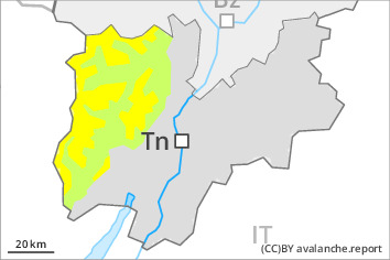
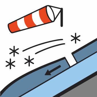
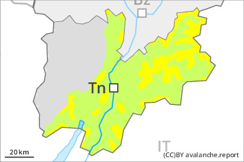
Increase in avalanche danger as a consequence of new snow and wind. Fresh wind slabs represent the main danger.
The wind slabs can be released easily by a single winter sport participant above the tree line. The avalanche prone locations are to be found adjacent to ridgelines and in gullies and bowls. The prevalence of such avalanche prone locations will increase with altitude. They are quite prevalent and are difficult to recognise. Whumpfing sounds and shooting cracks when stepping on the snowpack can indicate the danger.
Avalanches can in isolated cases penetrate deep layers and reach quite a large size. Caution is to be exercised in particular on very steep northwest, north and east facing slopes above approximately 2400 m. Especially slopes adjacent to ridgelines are unfavourable.
Snowpack
dp.6: cold, loose snow and wind
Over a wide area 10 to 25 cm of snow, and even more in some localities, will fall until midday. The old snowpack is faceted and weak; its surface consists of loosely bonded snow. The fresh snow as well as the wind slabs that are being formed by the moderate to strong northwesterly wind will be deposited on a weakly bonded old snowpack especially on north and east facing slopes. The new snow and wind slabs will be deposited on a crust on steep sunny slopes and generally at low and intermediate altitudes.
Tendency
Saturday: The avalanche danger will persist.

