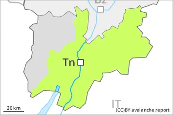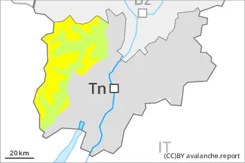
Danger level
 | treeline |
|  |
|  |

![]()
Fresh wind slabs require caution.
The more recent wind slabs can be released by a single winter sport participant in some cases on very steep north and east facing slopes. The avalanche prone locations are to be found in particular adjacent to ridgelines and in gullies and bowls at elevated altitudes. The small wind slabs are clearly recognisable to the trained eye. Restraint should be exercised because avalanches can sweep people along and give rise to falls.
Snowpack
dp.6: cold, loose snow and wind
As a consequence of a strong wind from southwesterly directions, further wind slabs will form in particular adjacent to ridgelines on north and east facing slopes. The fresh wind slabs are in some cases prone to triggering at elevated altitudes.
Only a small amount of snow is lying for the time of year. The snowpack will be subject to considerable local variations. On sunny slopes at low and intermediate altitudes hardly any snow is lying.
Tendency
Sunday: The avalanche danger will already increase in the late morning. Over a wide area 15 to 25 cm of snow, and even more in some localities, will fall above approximately 1500 m. As a consequence of new snow and a strong to storm force wind, avalanche prone wind slabs will form in particular adjacent to ridgelines and in gullies and bowls.