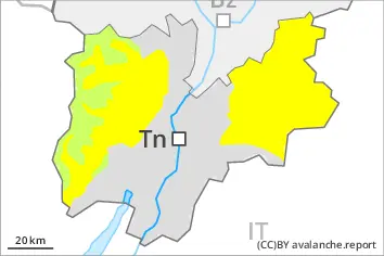
Increase in danger of moist and wet avalanches as a consequence of warming during the day and solar radiation. Early morning: A mostly favourable avalanche situation will be encountered over a wide area.
As a consequence of warming during the day and the solar radiation, the likelihood of moist and wet avalanches being released will increase in particular on very steep sunny slopes below approximately 3000 m. They can penetrate deep layers and reach large size in isolated cases. Weak layers in the old snowpack can be released in isolated cases and mostly by large additional loads, in particular at transitions from a shallow to a deep snowpack. These avalanche prone locations are to be found in particular on extremely steep shady slopes above approximately 2500 m and on very steep west and east facing slopes. Avalanches can in some cases reach medium size.
Snowpack
dp.6: cold, loose snow and wind dp.1: deep persistent weak layer
Avalanche prone weak layers exist in the old snowpack especially on little used west, north and east facing slopes. This applies on shady slopes above approximately 2500 m. As a consequence of the sometimes strong wind the wind slabs have increased in size. The snowpack will be generally subject to considerable local variations. Below the tree line a little snow is lying.
Tendency
The avalanche danger will persist.
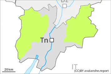
Danger level
Avalanche Problem
Wet snow
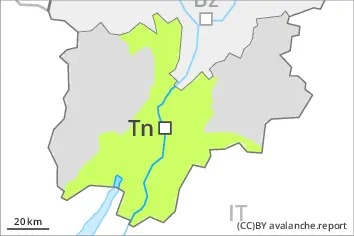
Low avalanche danger will prevail. The danger of moist and wet avalanches will increase during the day.
Thus far only isolated mostly small moist loose snow slides are possible as a consequence of warming during the day. The avalanche prone locations are to be found in particular on very steep shady slopes above approximately 1900 m.
Snowpack
dp.10: springtime scenario
In these regions a little snow is lying in all altitude zones. The snowpack will be subject to considerable local variations. The surface of the snowpack will only just freeze and will soften quickly. Below the tree line no snow is lying.