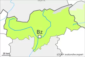
Danger level
 | 2600m |
|  |
|  | ||||
|  |
| |


![]()
Weak layers in the upper part of the snowpack necessitate caution. A latent danger of gliding avalanches exists. Fresh wind slabs require caution.
Weak layers in the upper part of the snowpack can be released especially by large additional loads. This applies in particular on very steep sunny slopes above approximately 2600 m. Avalanches can reach large size in isolated cases.
Individual gliding avalanches are possible, even large ones in isolated cases. This applies in particular on steep grassy slopes below approximately 2600 m. Areas with glide cracks are to be avoided.
As a consequence of new snow and a sometimes strong wind from northwesterly directions, sometimes avalanche prone wind slabs will form at elevated altitudes. Individual avalanche prone locations are to be found in particular on very steep northwest, north and east facing slopes above approximately 2000 m and adjacent to ridgelines.
The somewhat older wind slabs are now only very rarely prone to triggering. Individual avalanche prone locations are to be found on very steep shady slopes above approximately 2600 m. This applies in particular adjacent to ridgelines.
Snowpack
dp.4: cold following warm / warm following cold
dp.2: gliding snow
In some regions up to 10 cm of snow, and even more in some localities, fell on Thursday. The northwesterly wind will transport the new snow.
Faceted weak layers exist in the top section of the snowpack, in particular on very steep sunny slopes above approximately 2600 m. Towards its base, the snowpack is largely stable.
Low and intermediate altitudes: The old snowpack is moist and its surface has a melt-freeze crust that is strong in many cases.
Tendency
A latent danger of gliding avalanches exists. Fresh wind slabs require caution. As a consequence of warming during the day and solar radiation mostly small dry loose snow avalanches are to be expected.