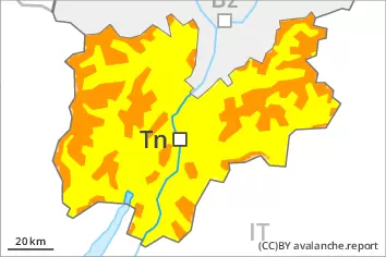
Danger level
 | treeline |
|  |
|  | ||||
|  |
|  |


![]()
Fresh wind slabs represent the main danger.
Large quantities of fresh snow and the wind-drifted snow of Sunday can be released easily in all aspects above the tree line. Avalanches can reach large size in isolated cases. The prevalence of the avalanche prone locations will increase with altitude. Caution is to be exercised in particular on steep shady slopes, as well as adjacent to ridgelines and in gullies and bowls. As a consequence of warming during the day and solar radiation numerous loose snow avalanches are to be expected as the day progresses, in particular medium-sized ones. In addition medium-sized and, in isolated cases, large gliding avalanches and wet snow slides are possible, in particular on steep sunny slopes below approximately 2400 m.
Snowpack
dp.6: cold, loose snow and wind
Over a wide area 30 to 50 cm of snow, and even more in some localities, has fallen above approximately 1600 m. The wind was storm force in some cases. Fresh wind slabs are lying on soft layers in particular on shady slopes above the tree line. Sunshine and high temperatures will give rise as the day progresses to gradual moistening of the snowpack in particular on steep sunny slopes at intermediate and high altitudes. The new snow and wind slabs of the weekend are lying on soft layers in particular on shady slopes above approximately 2200 m. The solar radiation will give rise as the day progresses to gradual moistening of the snowpack in particular on steep sunny slopes at intermediate and high altitudes. As a consequence of rising temperatures and solar radiation a crust formed on the surface, in particular on steep sunny slopes in all altitude zones.
Tendency
The fresh wind slabs remain prone to triggering in particular on shady slopes at elevated altitudes. More gliding avalanches and wet snow slides are to be expected.