As a consequence of snowfall above approximately 2000 m and the wind, snow drift accumulations formed during the last two days. The wind slabs are mostly shallow and in some cases prone to triggering. These are clearly recognisable. In isolated cases avalanches can be triggered in the weakly bonded old snow. Such avalanche prone locations are to be found in particular on extremely steep shady slopes above approximately 2600 m. Mostly avalanches are small.
Snowpack
Up to 15 cm of snow, and even more in some localities, has fallen since Tuesday above approximately 2000 m. The wind slabs of the last few days remain in some cases prone to triggering in particular on steep shady slopes above approximately 2400 m. Shady slopes above approximately 2600 m: Avalanche prone weak layers exist in the bottom section of the snowpack. In all regions less snow than usual is lying. The snowpack remains subject to considerable local variations.
Tendency
The avalanche danger will persist.
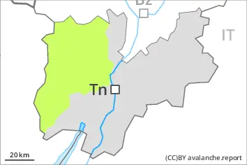
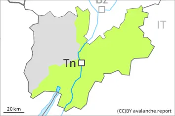
Danger level
Wind slabs and weakly bonded old snow require caution.
Fresh wind slabs require caution, in particular in the regions exposed to heavier precipitation. The wind slabs are mostly shallow and prone to triggering. These are clearly recognisable. Avalanches can in very isolated cases be released in the old snowpack. Such avalanche prone locations are to be found on very steep shady slopes at elevated altitudes. Restraint should be exercised because avalanches can sweep people along and give rise to falls.
Snowpack
Some snow has fallen over a wide area, in particular above approximately 2000 m.
The snowpack will be subject to considerable local variations over a wide area. Outgoing longwave radiation during the night will be good. From a snow sport perspective, in most cases insufficient snow is lying.