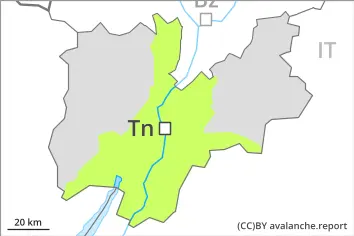
Danger level
 | 2600m |
|  |
|  |

![]()
Wet snow requires caution.
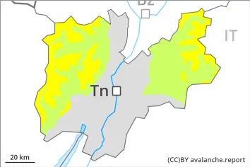
As the day progresses as a consequence of warming there will be a gradual increase in the avalanche danger. On very steep slopes the moist avalanches can be released naturally and reach medium size in isolated cases.
As a consequence of new snow and wind, wind slabs formed in the last few days at high altitudes and in high Alpine regions. Individual avalanche prone locations are to be found on very steep shady slopes above approximately 2600 m.
Avalanches can be released, mostly by large loads and reach medium size.
Snowpack
dp.10: springtime scenario
Below approximately 2500 m a little snow is lying. The spring-like weather conditions will give rise to rapid moistening of the snowpack. The surface of the snowpack will only just freeze and will soften quickly.
Steep northwest, north and northeast facing slopes above approximately 2500 m: Faceted weak layers exist in the bottom section of the old snowpack.
Tendency
The avalanche danger will persist.