Danger level
 | treeline |
|  |
|  |

Load standard view DE IT EN ES CA AR

Danger level
 | treeline |
|  |
|  |

Danger level
 |
|  |  |

Danger level
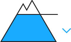
 | 2400m |
|  |
|  | ||||
|  |
|  |

The avalanche danger will already increase in the late morning.
In high alpine regions there are faceted layers inside the old snowpack which are often covered by hardened layers. In addition, there are still loose layers near the surface which are covered. At lower and intermediate altitudes the snowpack is moistened by higher temperatures, in places it is completely wet. Overnight a melt-freeze crust can form in these places which then softens up during the daytime. The snowpack currently evidences no marked weak layers. On grass-covered slopes and over rocky plates, the entire snowpack can start to glide.
Increasing avalanche danger levels expected due to fresh snow and wind impact.
Danger level
 | 2600m |
|  |
|  |

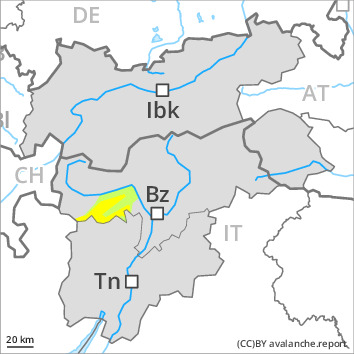
The snowpack remains weakly bonded in the north. Small to medium-sized avalanches are possible in particular on steep north, northeast and northwest facing slopes.
dp.1: deep persistent weak layer
dp.6: cold, loose snow and wind
Weak layers near the ground can still be released by individual winter sport participants especially on wind-loaded slopes.
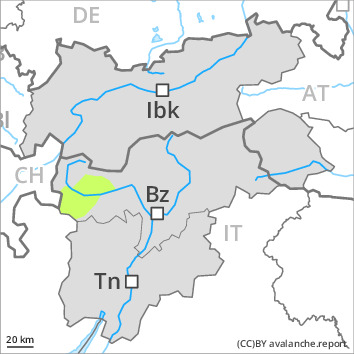
The conditions remain mostly favourable.
Danger level
 |

Danger level
 | 2000m |
|  |
|  | ||||
|  |  |

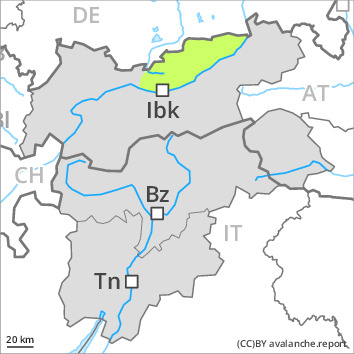
Avalanche danger is low. In some places, weak layers persist in the old snowpack which can be triggered on few, very steep high altitude slopes in N-E aspects. Mostly, high additional loading will be necessary and avalanches tend to remain small. Small wet loose sluffs can trigger naturally. Small glide snow avalanches can release on steep smooth grass-covered slopes.
At intermediate altitudes the snowpack is completely soaked, and at high altitudes superficially moist. During the night, a thin melt-freeze crust can form at the snowpack surface which softens again during the day. Where the snowpack borders the ground, it is often wet, in particular at intermediate altitudes; therefore it can start gliding over smooth ground. In the vicinity of thin rain crusts and melt-freeze crusts embedded in the snowpack at high altitudes there are layers consisting of faceted crystals; some of them are prone to triggering. Snow depths vary. Ridges and crests are blown bare; south-facing slopes are becoming increasingly bare. All in all, there is little snow.
Due to snowfall and wind fresh snowdrifts will be generated on Friday; avalanche danger will increase.
Danger level
 |
|  |  |

Avalanche danger is low. Due to higher temperatures and solar radiation, small loose-snow avalanches can trigger naturally in extremely steep terrain (>40°). Also small glide-snow avalanches are possible at any time of day or night in all aspects.
Due to rising temperatures, the snowpack has receded and is moistened at surface level up to intermediate altitudes, or else utterly wet. Overnight a melt-freeze crust can form which will then soften up during the daytime. The snowpack evidences currently no marked weak layers. On grass-covered slopes or rocky plates the entire snowpack could begin to glide away. At high altitudes the near-surface loose-snow layers are often blanketed.
Increasing avalanche danger levels (snowdrift problem) expected due to fresh snow and wind impact.