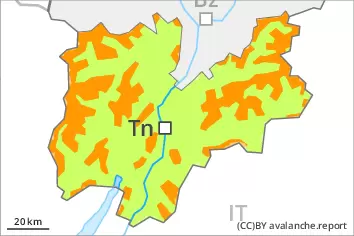
Danger level
 | treeline |
|  |
|  |

![]()
New snow and wind slabs are to be assessed with care and prudence.
The new snow and wind slabs can be released easily, even by a single winter sport participant,. The avalanche prone locations are to be found in all aspects and adjacent to ridgelines and in gullies and bowls. Caution is to be exercised in particular on steep shady slopes. The avalanche prone locations are sometimes covered with new snow and are barely recognisable because of the poor visibility. At elevated altitudes the avalanche prone locations are more prevalent. As a consequence of the strong northerly wind the prevalence and size of these avalanche prone locations will increase in the evening.
Avalanches can additionally in isolated cases be released in the old snowpack in particular on steep, little used shady slopes. The avalanche prone locations are to be found in particular on very steep northwest, north and east facing slopes above approximately 2200 m. Caution is to be exercised in particular at transitions from a shallow to a deep snowpack.
Backcountry touring and other off-piste activities call for experience in the assessment of avalanche danger and caution.
Snowpack
Over a wide area 15 to 40 cm of snow, and even more in some localities, will fall on Tuesday above approximately 1800 m. As a consequence of a strong to storm force wind from southwesterly directions, sometimes deep wind slabs will form by the early morning. Over a wide area new snow and wind slabs are lying on the smooth surface of an old snowpack. The fresh snow as well as the wind slabs that are forming during the snowfall can be released easily or naturally in particular on steep shady slopes. Caution is to be exercised adjacent to ridgelines, as well as in gullies and bowls. The snowpack will become increasingly prone to triggering.
Faceted weak layers exist in the old snowpack, in particular on shady slopes above approximately 2200 m, as well as on east and west facing slopes above approximately 2400 m.
Tendency
As a consequence of falling temperatures and the strong northerly wind, the snowpack can not consolidate on Wednesday. New snow and wind slabs are to be assessed with care and prudence.